A study published Monday finds sea-level rise along the coast of the southeastern United States has accelerated rapidly since 2010, raising fears that tens of millions of Americans’ homes in cities across the South will be at risk from flooding in the decades to come.
“It’s a window into the future,” Sönke Dangendorf, an assistant professor of river-coastal science and engineering at Tulane University, who co-authored the study that appeared in Nature Communications, told the Washington Post.
That paper and another published last month in the Journal of Climate find that sea levels along the Gulf Coast and the southern Atlantic Coast have risen an average of 1 centimeter per year since 2010. That translates to nearly 5 inches over the last 12 years, and it is about double the rate of average global sea-level rise during the same time period.
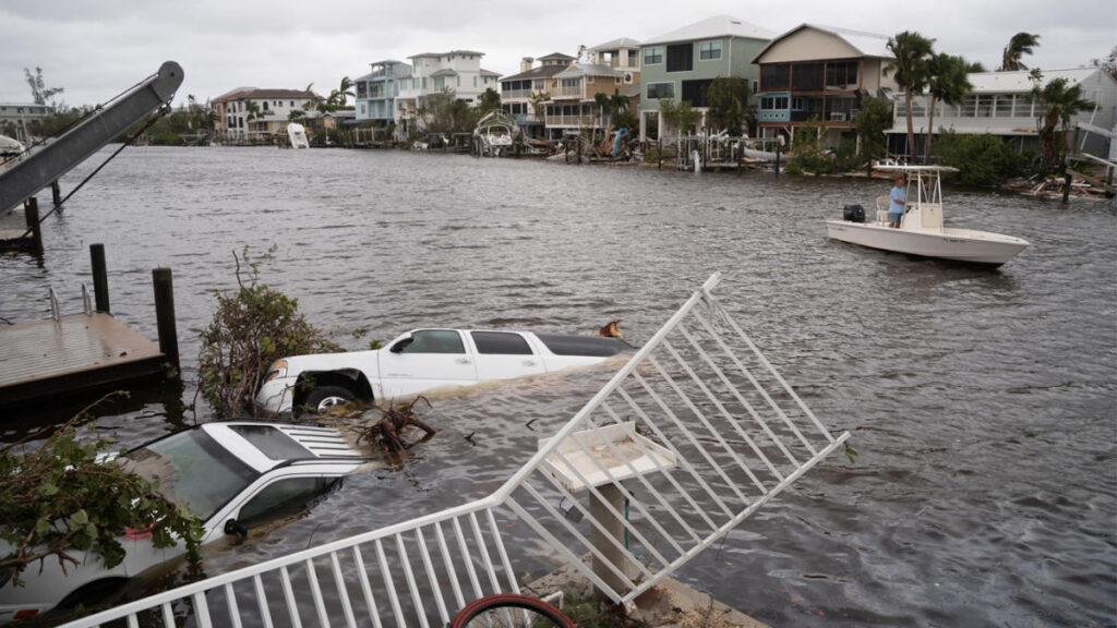
The Journal of Climate study found that the hurricanes that have recently hammered the Gulf Coast, including Michael in 2018 and Ian — which was blamed in the deaths of 109 Floridians last year — had a more severe impact because of higher sea levels.
“It turns out that the water level associated with Hurricane Ian was the highest on record due to the combined effect of sea-level rise and storm surge,” Jianjun Yin, a climate scientist at the University of Arizona and the author of the Journal of Climate study, told the Post.
Data from the National Oceanic and Atmospheric Administration (NOAA) show the water level at Lake Pontchartrain, an estuary bordering New Orleans, is eight inches higher than it was in 2006. Other cities threatened by rising oceans in the region include Houston, Miami and Mobile, Ala.
The centimeter-per-year rate is far faster than experts had expected, and it is more in line with projections made for the end of the century, Dagendorf said. High-tide flooding — when the tides bring water onto normally dry land on rain-free days — has more than doubled on the Gulf Coast and Southeast coast since the beginning of this century, according to NOAA. Recent years have seen records for high-tide flooding obliterated. The city of Bay St. Louis, Miss., went from three days of high-tide flooding in 2000 to 22 days in 2020.
A study by scientists with the University of Miami, NOAA, NASA and other institutions, which has not yet undergone peer review, found that the Southeastern sea-level rise accounted for “30%-50% of flood days in 2015-2020.”
“In low-lying coastal regions, an increase of even a few centimeters in the background sea level can break the regional flooding thresholds and lead to coastal inundation,” the study said.
[ad_2]
Source link

